

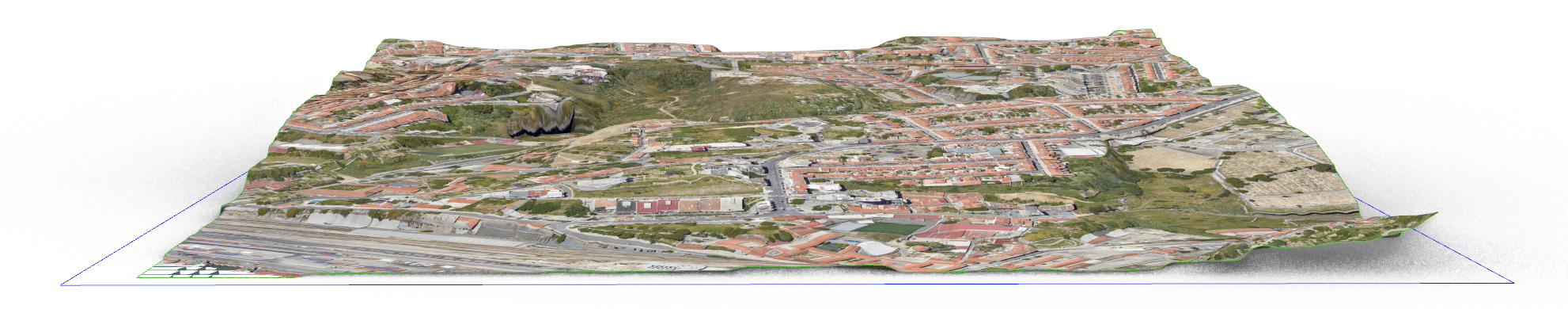
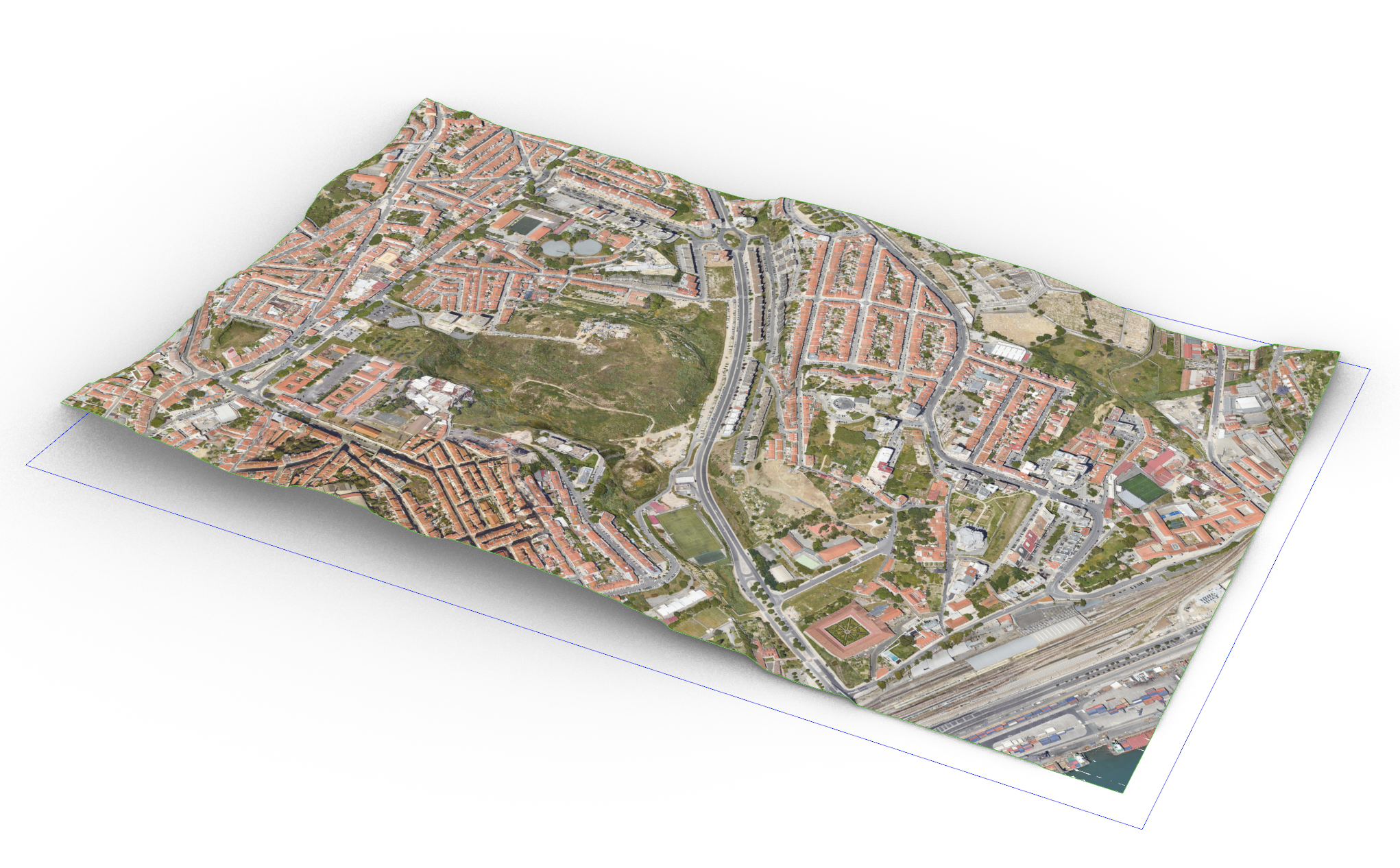
EXERCÍCIO 05
EX05 Mapear Terreno com Imagem Satélite
Aplique a imagem por satélite correspondente ao terreno do exercício anterior, situado no Vale de Santo António - Lisboa
Aplique a imagem por satélite correspondente ao terreno do exercício anterior, situado no Vale de Santo António - Lisboa