EXERCÍCIO 03
EXERCISE 03
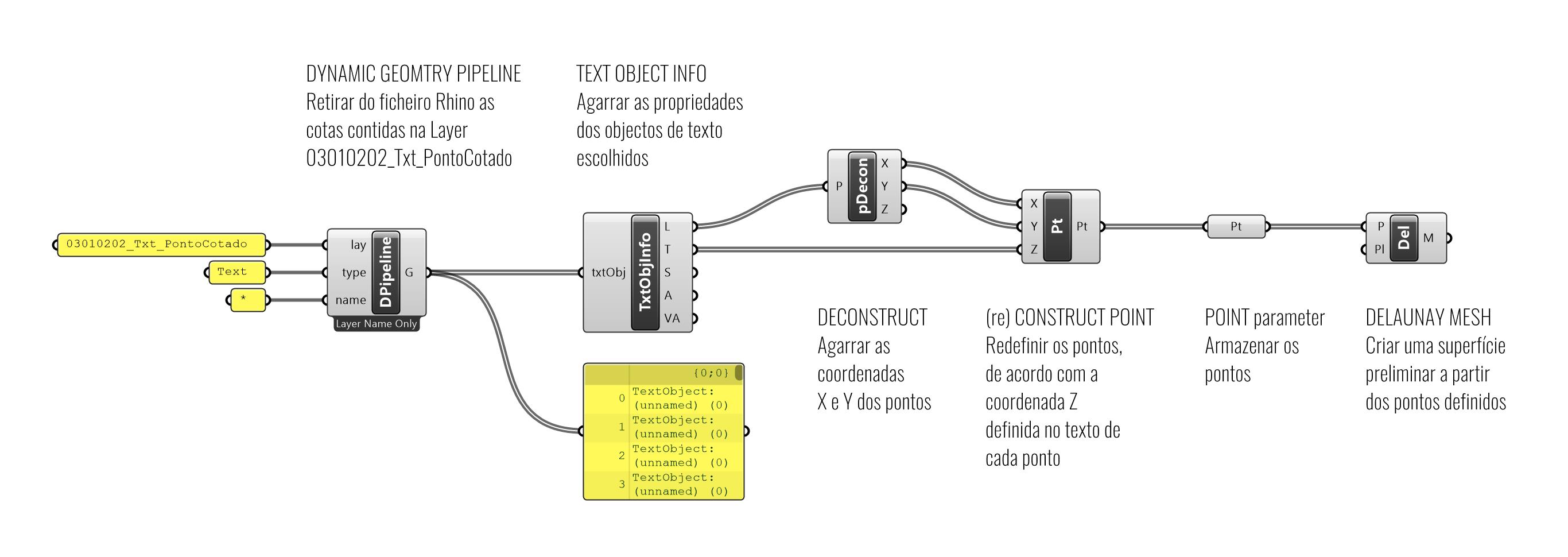
EX03 Pontos de Texto para Pontos 3D
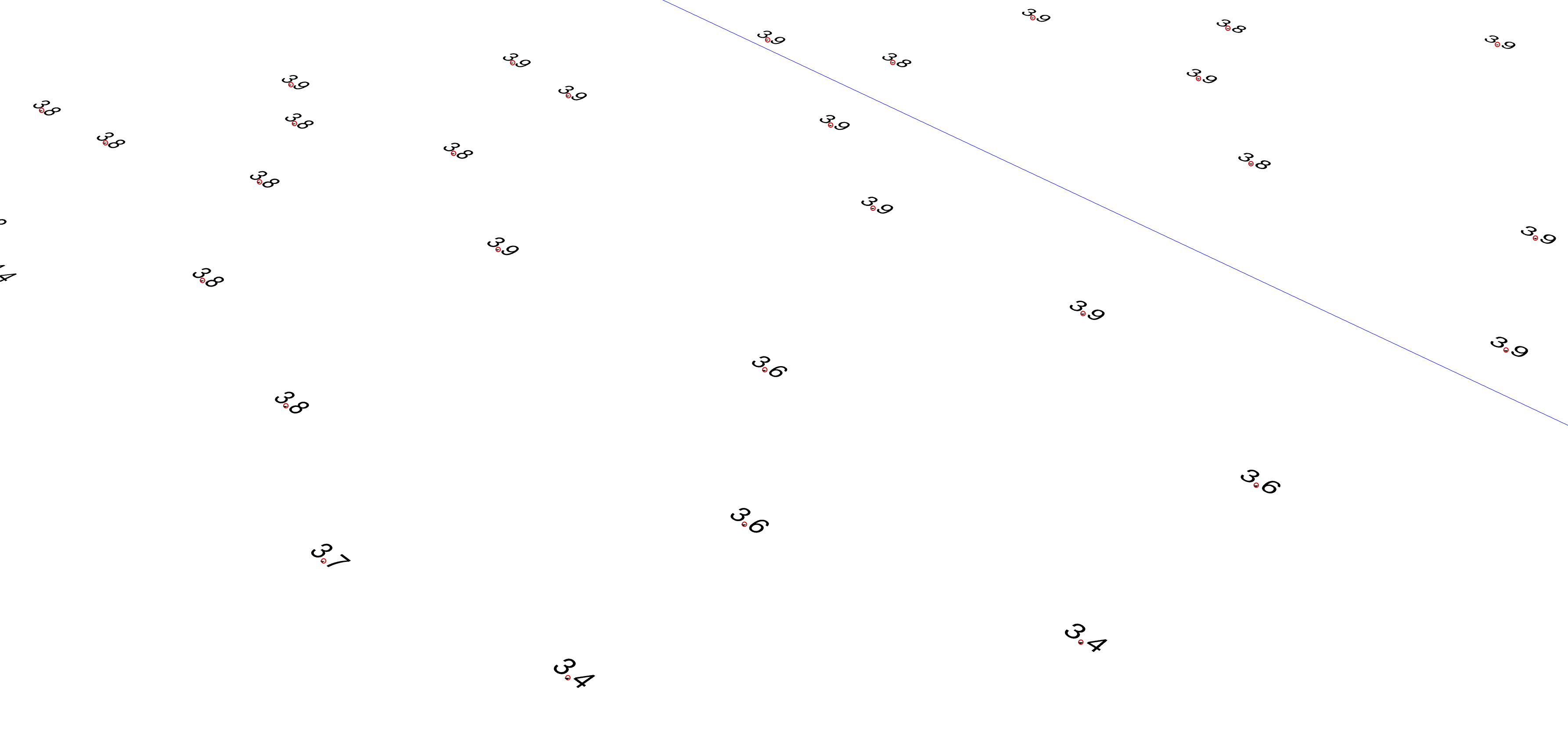
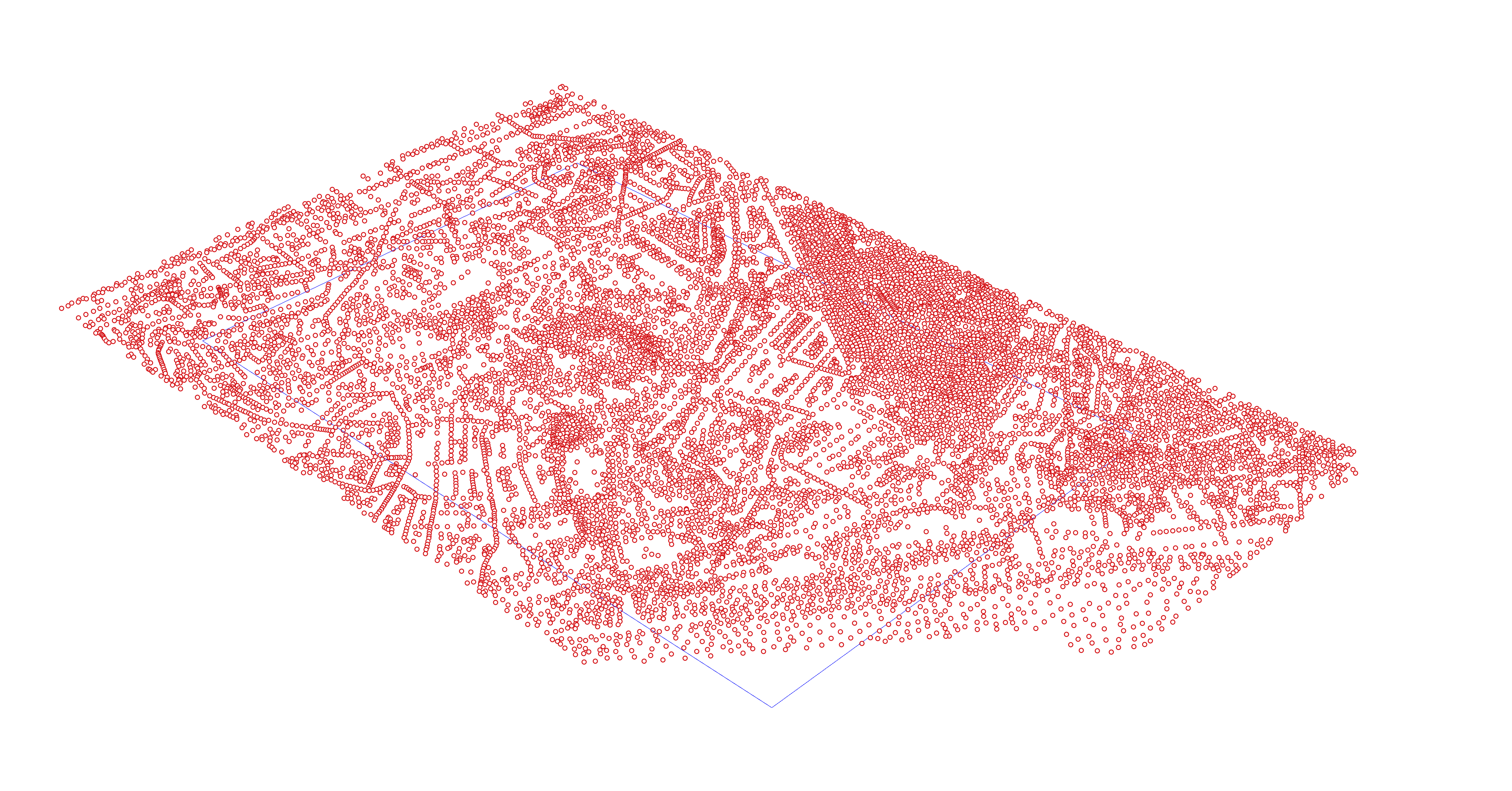
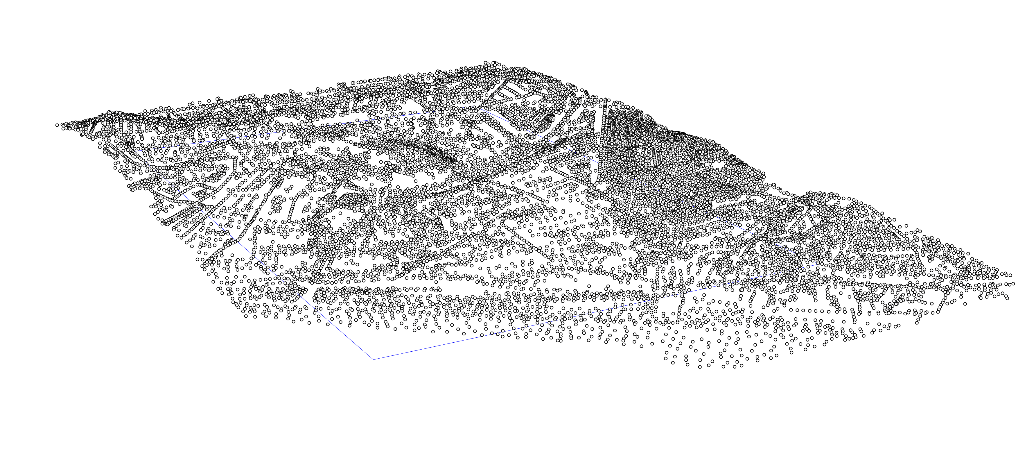
A partir do exercício de Laboratório de Projeto IV, situado no Vale de Santo António - Lisboa, gere o terreno através de Delaunay Mesh dessa área, tendo por base a cartografia altimetria previamente fornecida pela edilidade.
EX03 Elevate 2D Altimetric Points to 3D
From the Project Laboratory IV exercise, located in Santo António valley - Lisboa, create the terrain model through the Delaunay Mesh of this area, based on the altimetry cartography previously provided by the town hall.